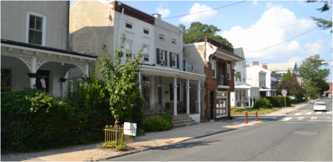
Local houses in Roxborough.
|
W.B Saul Agricultural Sciences High School is located in the neighborhood of Roxborough, a part of Philadelphia that is often grouped with the trendy and student-driven Manayunk. Roxborough has somewhat of a "suburban" feel compared to many neighborhoods in Philadelphia, as evidenced by its relatively low population density and abundance of green space. As previous student teacher Valerie Metzer puts it, "Most people living in the surrounding area [Roxborough] tend to be middle aged to older and middle to upper middle class. Manayunk is made up of a lot of younger singles and couples. The area surrounding Saul seems like a very safe community." |
|
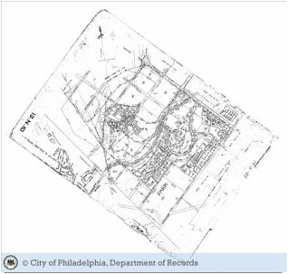 Historical Map of Area Surrounding Saul. Historical Map of Area Surrounding Saul.
Roxborough was once an independent township in Philadelphia known as Roxborough township. It was considered to be a wealthier area, due to the presence of the highly lucrative "Manayunk Mills", which funneled wealth into the community and led to the funding of many public projects, including schools and parks. Roxborough was incorporated into the city of Philadelphia with the Act of Consolidation of 1854. Even after the merge, the community of Roxborough prided itself on its sense of sustainability and community. Both mill owners and the immigrants they employed lived in close proximity, and neighborhood members could be expelled for failing to harmonize with the ethics or viewpoints of other community members. More recently, Roxborough and nearby Manayunk suffered an economic downturn in the late 1980's that led to the loss of many of the region's manufacturing jobs. However, in the early 1990's an effort was made to "revitalize" Main Street in Manayunk, and soon the street began to fill up with upscale restaurants, shopping, and services geared to young professionals. The effects of this have trickled into Roxborough as well, leading to an uptick in the economies of both areas. |
Neighborhood Map
Here is a current map of the neighborhood surrounding W.B Saul, which is denoted with a blue star. Landmarks of importance are marked with a red bubble, and clicking on them will lead to a description and picture of the site. Feel free to explore!
Images: Erika Mitkus
Image: Greater Philadelphia GeoHistory Network. (n.d.). Retrieved July 1, 2015, from http://www.philageohistory.org
Quotations/Information: Metzler, V. (2015, July 1). Valerie [E-mail interview].
Manayunk History. (n.d.). Retrieved July 1, 2015, from http://www.ushistory.com/
Manayunk. (n.d.). Retrieved July 1, 2015, from http://planningpa.org/presentations09/24_Manayunk_Handout_FILE.pdf
Roxborough Development Corporation: Industrial Revolution. (n.d.). Retrieved July 1, 2015, from http://www.roxborough.us/industry.html
